New broadband depth-imaged datasets from PGS and SNPC provide MegaSurveyPlus coverage to support the License Round bids and work commitments.
Nine datasets have been reprocessed from field data using the latest broadband processing techniques to give the clearest images.
- Nine surveys processed from field data
- Time and depth processing final products
- Fully attenuated source and receiver ghosts
- Advanced noise attenuation techniques and targeted 3D shallow-water demultiple sequence
- Broadband frequency enhancement guided by GeoStreamer data
- Regional velocity trend derived from modern surveys with longer offsets
- All surveys are matched and merged prior to migration, providing a seamless depth-migrated volume
- AVO compliant angle stacks and gathers
The reprocessed dataset will be available as final PSDM and RTM volumes. Phase 1 is ready now and Phase 2 will be available in Q1 2019. Preferential rates will apply for pre-commitment.
 Map of current license blocks in the Republic of Congo and highlighting the outline of the MegaSurveyPlus
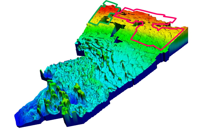
 Top salt horizon grid over the whole of the Congo MegaSurvey highlighting the outline of the MegaSurveyPlus.
 A comparison of time images from the MegaSurvey (left) and the recently reprocessed MegaSurveyPlus (right).
Find Out More
Contact amme.info@pgs.com