Above: An interpreted horizon of the seal (top tau) has been superimposed on the survey area (outlined in orange). CO2 storage licenses are indicated in yellow, oil & gas exploration blocks in brown. Black dots indicate wells available in rockAVO.
Until recently, industry interest in the Egersund Basin, located southwest of Stavanger, between the Norwegian-Danish Basin and the Stavanger Platform in the North Sea, was focused on oil exploration and production, principally from the Yme field. New licenses for carbon storage are expanding the scope.
Proven Middle Jurassic reservoir sands in the area are sealed by thick Cretaceous and Jurassic shales. To evaluate the potential of those reservoirs for large-scale CO2 storage, better data was required to understand trap geometries and the leakage risk in the overlying sealing rocks.
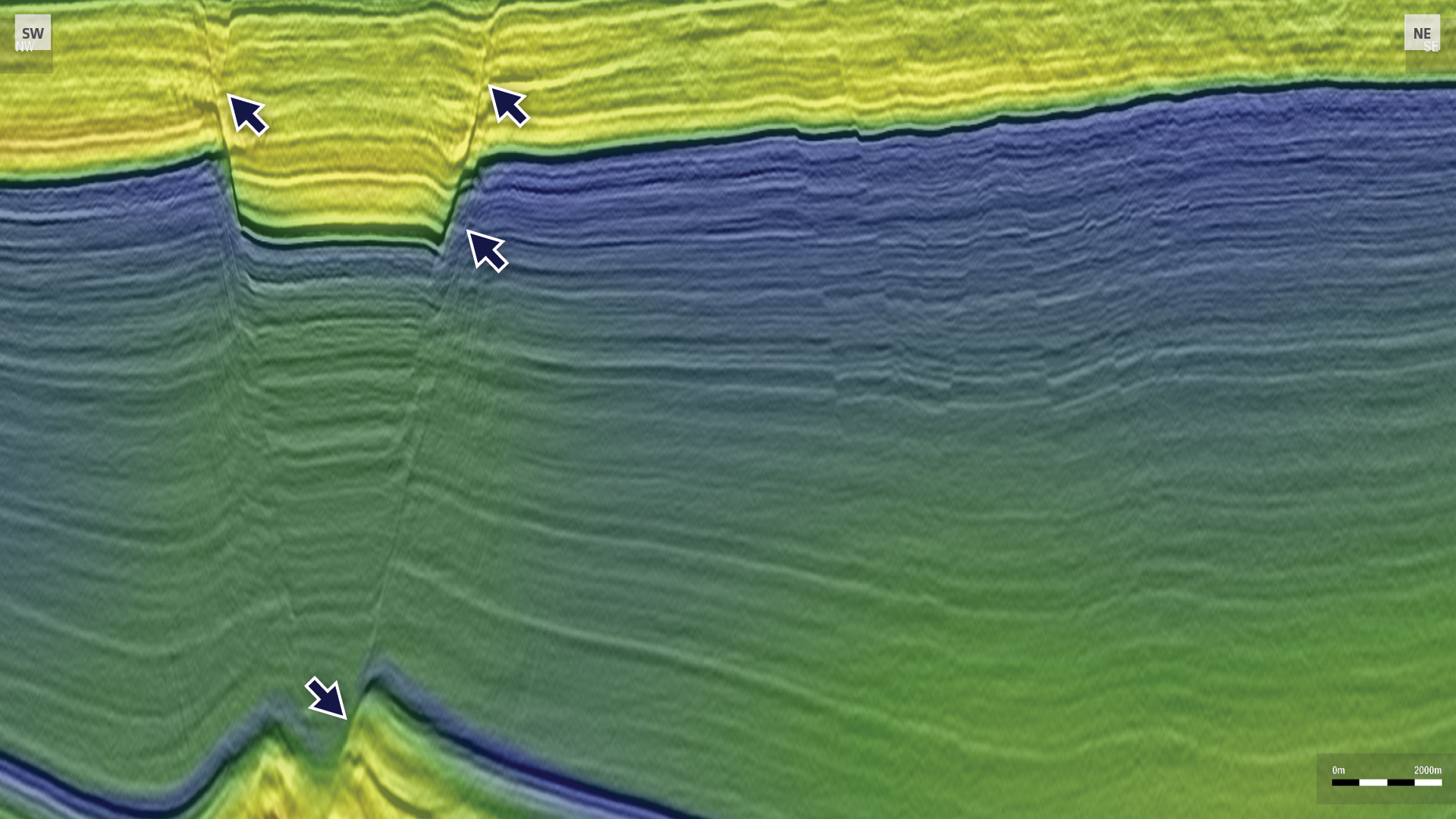
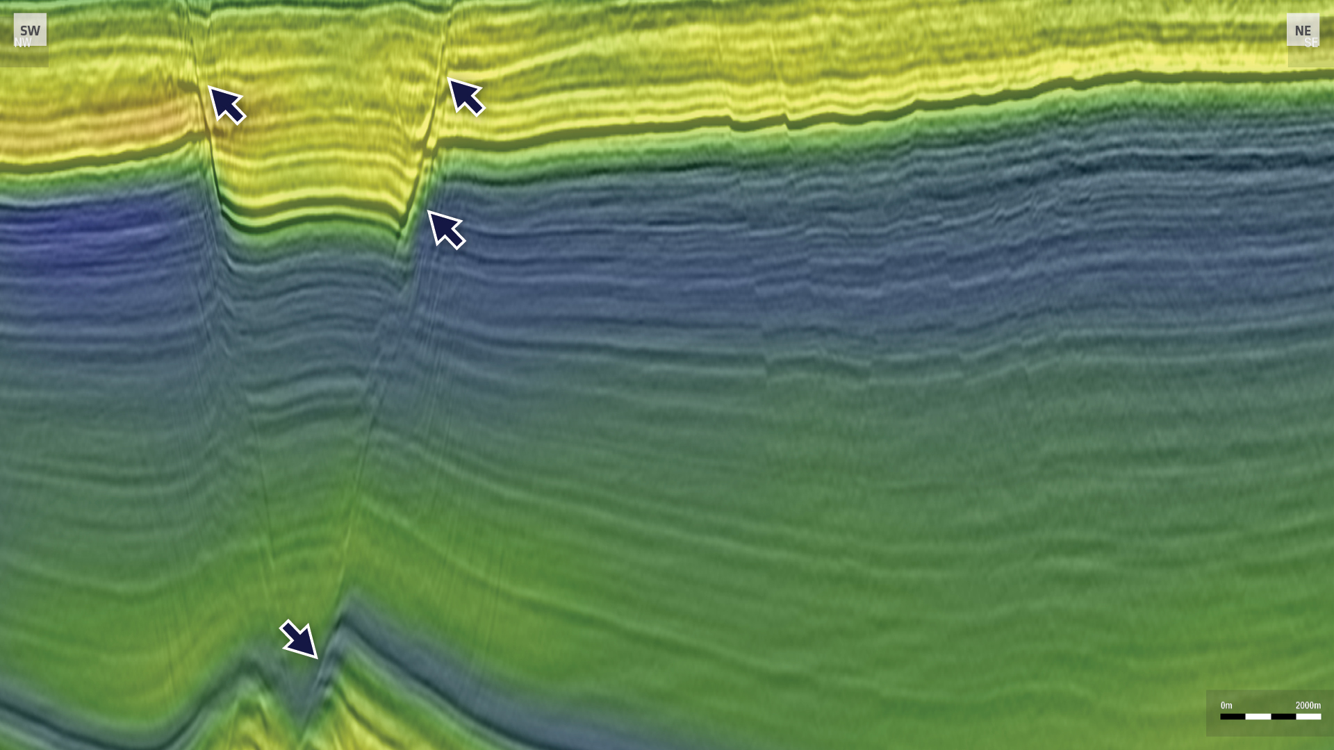
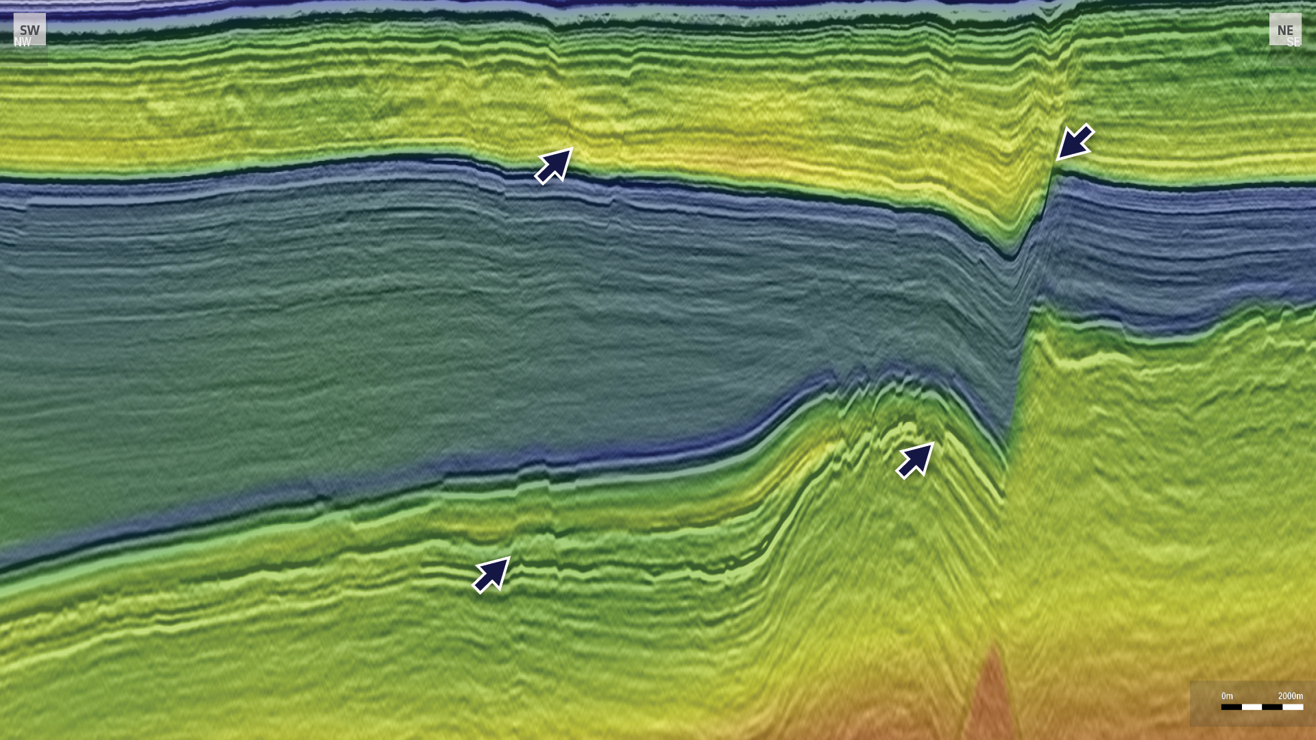
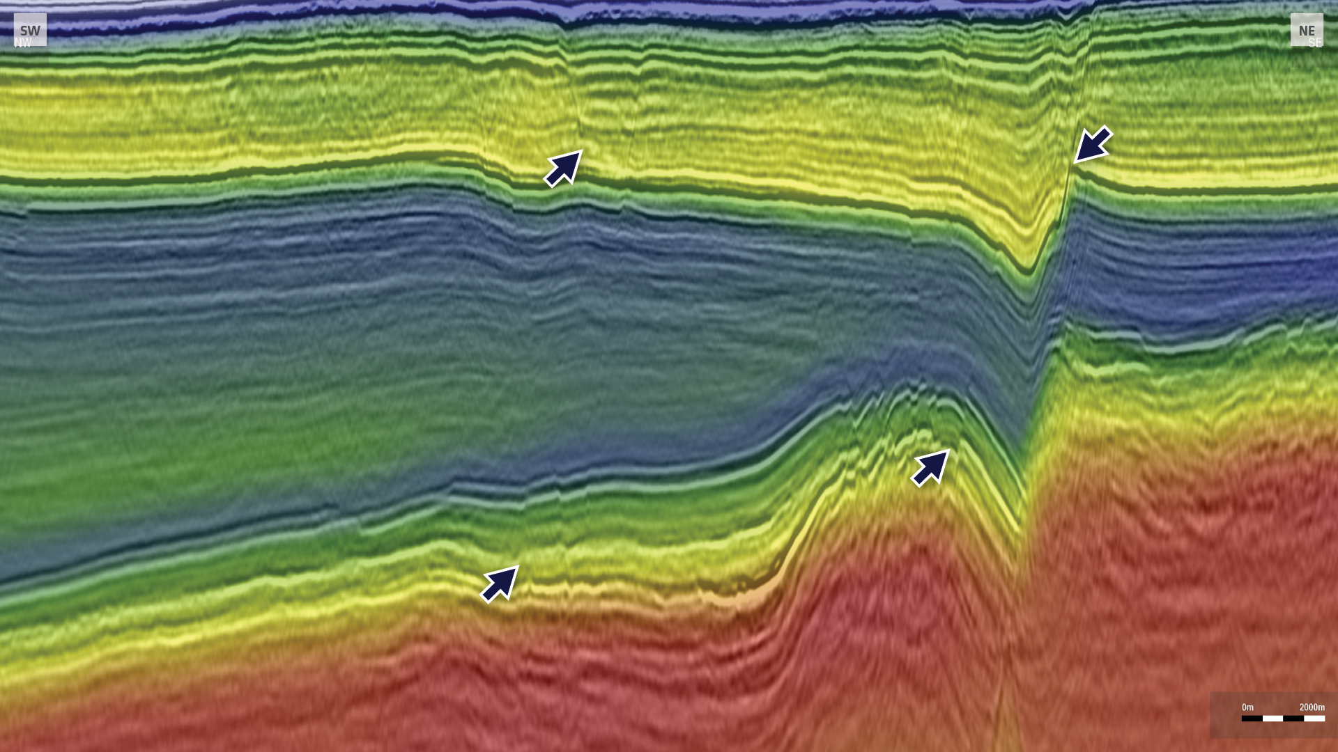
As the Egersund Basin is heavily influenced by tectonic structuring and salt movement, high-resolution data with a particular focus on the near-surface was essential. A detailed understanding of fault patterns in the overburden is necessary to determine the vertical extent and connection to the reservoir target level.
Improved Structural Imaging of Near-Surface and Reservoir
PGS has completed a targeted data rejuvenation project over Egersund Basin, with broadband reprocessing of seismic acquired in 2005. The new dataset, called PGS22004EGB, provides enhanced data bandwidth at the reservoir target level, with improved signal-to-noise, and better velocity definition in the overburden.
The processing flow has included state-of the art broadband processing techniques, such as full 3D deghosting, advanced 3D demultiple methods, and 4D-regularization. To produce more accurate and robust velocity model for the final Kirchhoff pre-stack depth migration, FWI and reflection tomography were used for velocity model building.
The results demonstrate a significant uplift of the stratigraphic-structural imaging at the reservoir target level and in the overburden, as seen in the regional seismic lines shown below.
Find Out More
To arrange a data show or to discuss further needs, contact europe.info@pgs.com or your PGS sales manager.
Contact a PGS expert
Please contact a member of our Europe team for more information.
