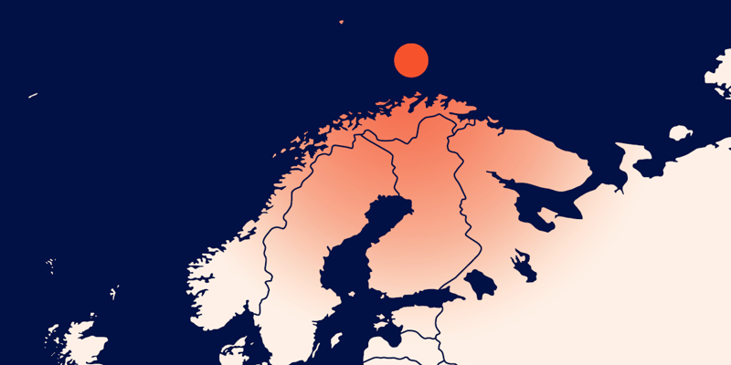
The Harstad Basin has a very complex burial history, including subsidence, uplift, and chemical reaction. Using an integrated workflow on the PGS17011NBS dataset, PGS quantitative interpretation experts have revealed structure and petroleum potential in available blocks.
“With very few wells, access to a high-quality seismic image, velocity model, and rock physics model integrating the burial history of the area is invaluable for evaluating, predicting, and assessing the uncertainties on reservoir presence, reservoir quality as well as hydrocarbon opportunities,” says Cyrille Reiser, Global Quantitative Interpretation Manager at PGS.
A PGS FWI velocity model has been instrumental in establishing a correct estimation of the erosion occurring at various stratigraphic levels.
Deep imaging has enabled the mapping of the source rock in the Hekkingen Late Jurassic Shale, following the identification of the Base Cretaceous Unconformity. The source rock is located within the late oil and gas window, in the basin and close to the platform, which may indicate good exploration potential in well-charged Jurassic and Paleocene reservoirs.
“APA 2023 extended coverage opened up this area of the Barents Sea for all explorers. Using our dataset will allow a better understanding of the area potential and will ensure your applications are well supported,” says Sónia Pereira, VP Sales Europe at PGS.
To arrange a data show or to discuss further needs, contact europe.info@pgs.com or your PGS sales manager.
Dig Beneath the Big Dipper

Contact a PGS expert
Please contact a member of our Europe team for more information.


