

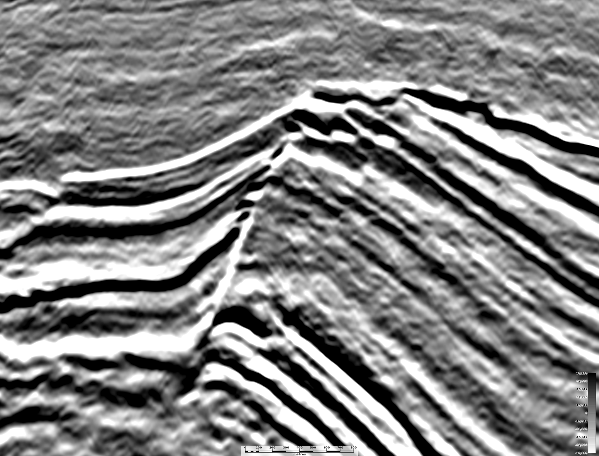
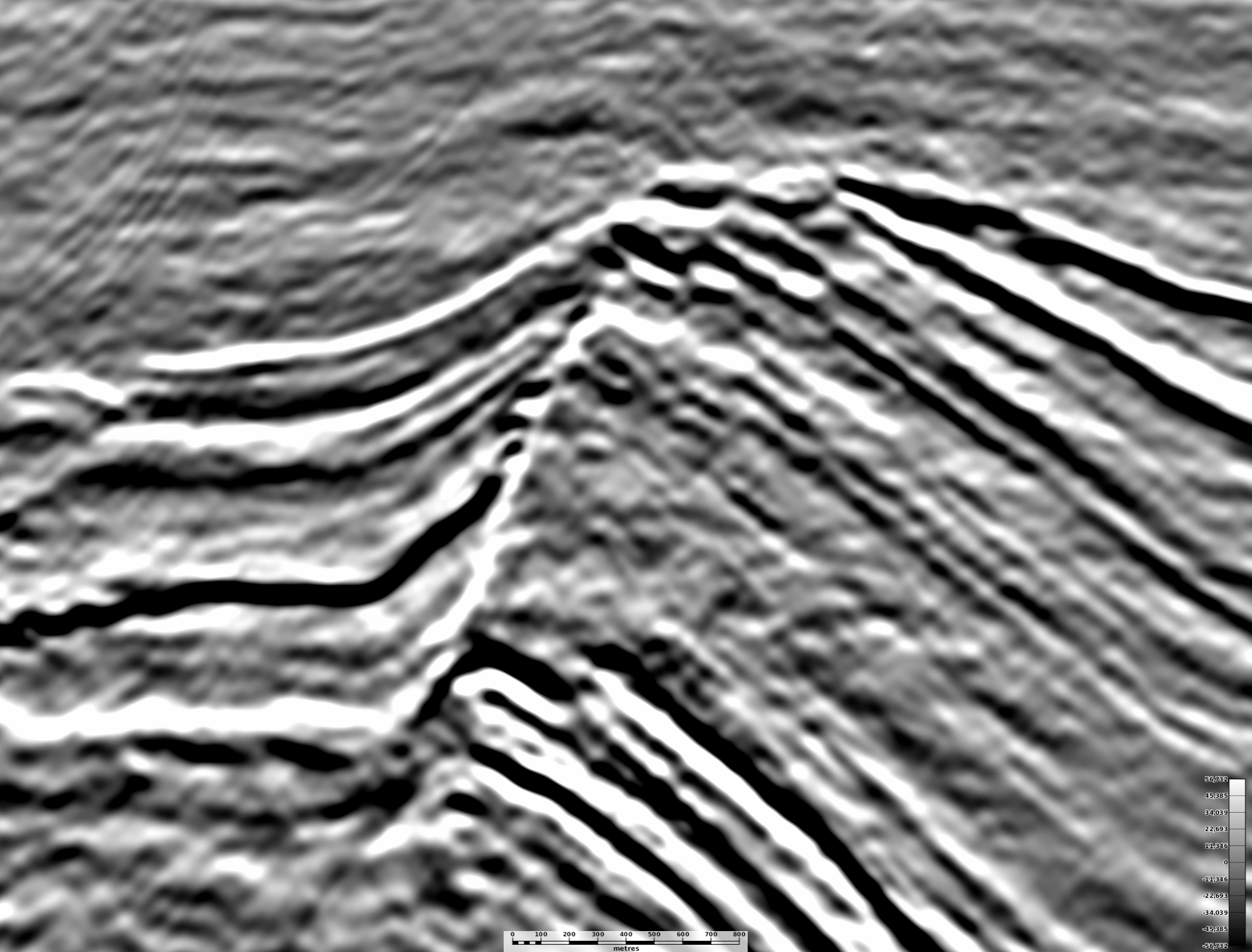
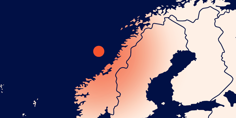
Norway’s Halten and Dønna Terrace is revealed in unprecedented multi-azimuth detail by PGS’ final GeoStreamer X Norwegian Sea data.
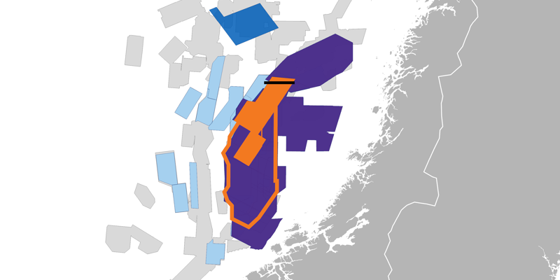
Stunning full stack depth imaging is now available for the first 7000 sq. km tranche of GeoStreamer X Norwegian Sea, over of the Halten / Donna Terrace.
The final accurate subsurface images provided by GeoStreamer X Norwegian Sea reveal structure and stratigraphy in unprecedented detail in both shallow and deep settings.
“The detail on our final GeoStreamer X data is so sharp, it makes our interpreters' fingers itch. It’s a new level of understanding the traps and plays, allowing your team to reassess new and missed exploration opportunities and volumetrics on the Halten-Dønna Terrace, ” says Sónia Pereira, VP of Data Sales Europe at PGS.
Pioneering solution
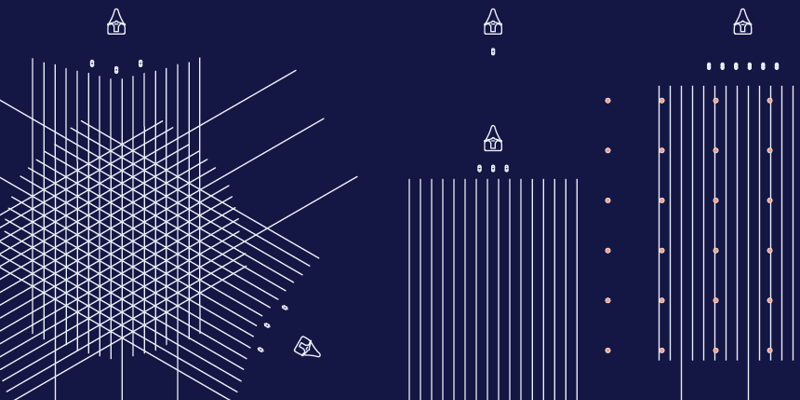
GeoStreamer X is an efficient approach to multi-azimuth illumination that is enabling new insights for exploration of potential along the Norwegian Continental Shelf. MAZ data can radically improve illumination of subsurface challenges. GeoStreamer X delivers improved data faster and with lower environmental impact than alternative technologies by imaging new broadband acquisition together with reprocessed library coverage.
Find Out More
See for yourself! To arrange a data show or find out more, please contact a member of our Europe team at europe.info@pgs.com.
Contact a PGS expert
Please contact a member of our Europe team for more information.