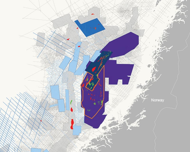
The first 3D GeoStreamer survey was acquired in the Halten Terrace area of the Norwegian Sea in 2011 and after many more acquisitions and data rejuvenations, PGS is able to offer customers 48 000 sq. km of high-end broadband seismic.
Seven of the 13 discoveries made in Norway in 2020 were covered by GeoStreamer data, showing the interdependency of exploration with advanced acquisition and high-end imaging solutions.
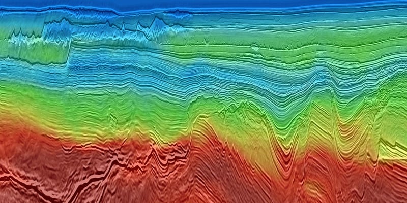
PGS brought GeoStreamer X technology to the Norwegian Sea in 2022 initially with 7000 sq. km, adding 8 000 sq. km in 2023 and more coming in 2024. This technique addresses the geophysical challenges in imaging complex targets both deep and shallow, in the region.
An improved understanding of complex structures will allow operators to make better-informed decisions on prospect ranking and development strategy. Open blocks are available for APA 2024 licensing.
PGS offers three data library products in the area, the new Norwegian Sea MegaSurvey for large-scale screening, lead and prospect evaluation, GeoStreamer PURE includes over 30 000 sq. km across a prolific fairway, and now GeoStreamer X for targeted ILX and appraisal.
Data Library


