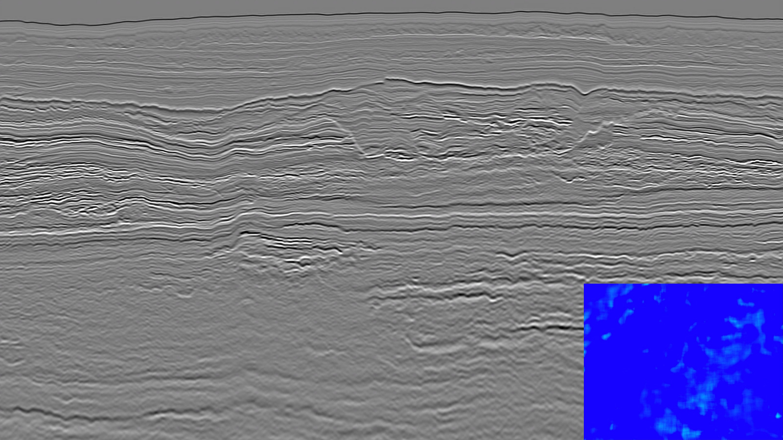
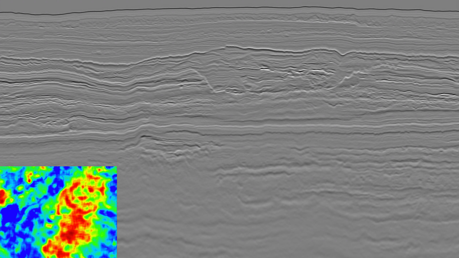
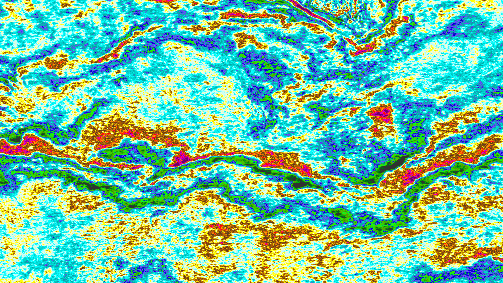
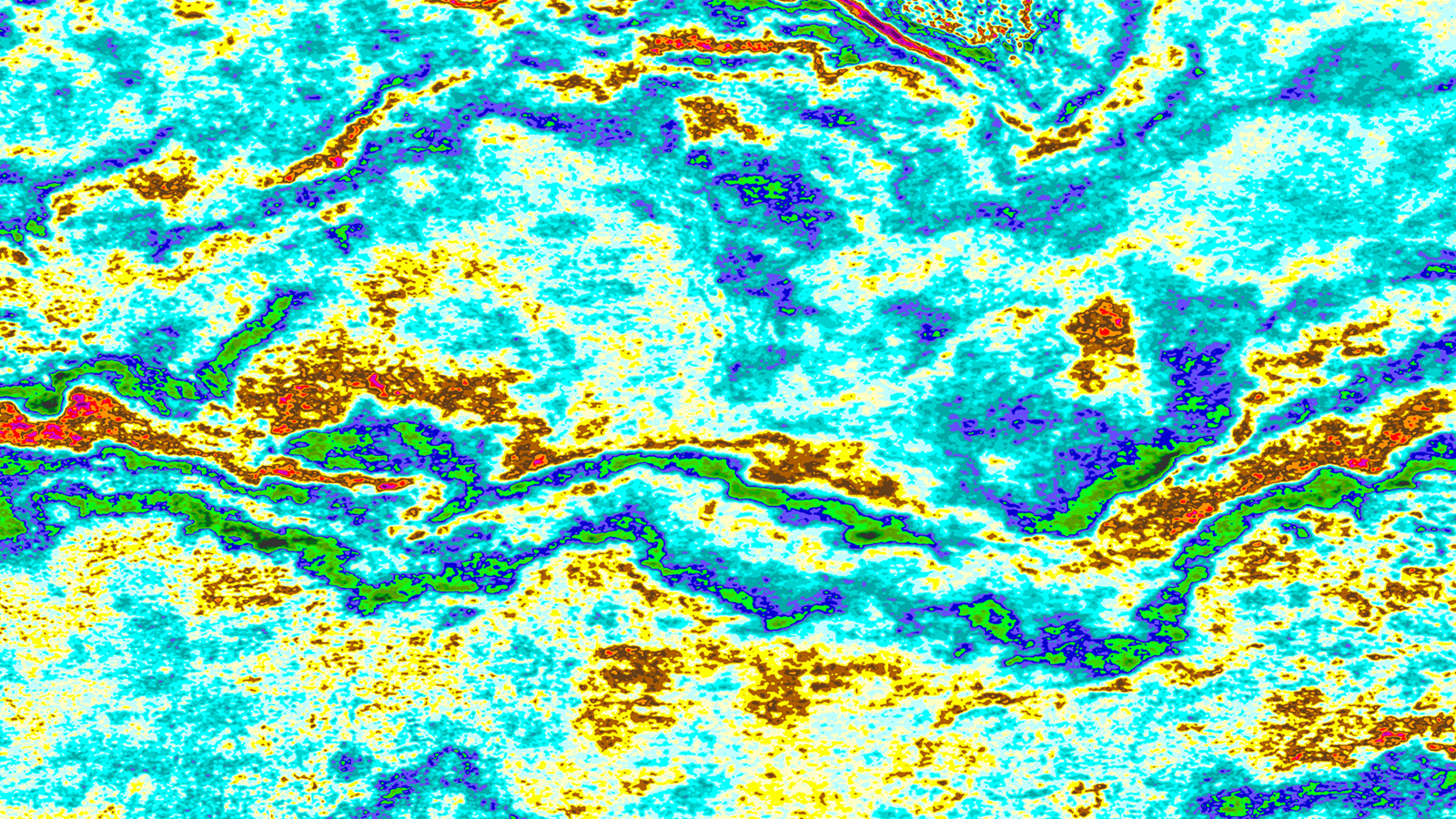
Côte d’Ivoire, Africa

Improving Target Resolution Below Heterogeneous Channels

Côte d’Ivoire, Africa

Advanced velocity model building resolves structural uncertainty and improves the amplitudes affected by complex channel systems

Location

Location
Côte d'Ivoire, Blocks 602 & 603
Survey Year
2015
Survey type
3D GeoStreamer
Survey Configuration
10 streamers, 100 m separation
Survey Size
5 000 sq. km
Data Deliverables
Kirchhoff PSDM, Velocity Model

The PGS data library offers seven 3D GeoStreamer surveys and over 12 000 line km of 2D data for Côte d'Ivoire. Our new MegaSurvey (gray outline and GeoStreamer surveys up to 2018) enables the evaluation of the Western Ivorian Basin in a regional 3D context, providing an excellent overview of all play types over available acreage. The data in this case study is from within the orange outline and was reprocessed in 2018 using advanced velocity model building tools.

Challenge

Late Cretaceous (Maastrichtian) and Paleocene channel and canyon systems (yellow ellipses) impact the seismic characterization of older Late Cretaceous prospective channel and fan systems in deepwater Côte d’Ivoire. Intra-channel heterogeneity affects amplitude fidelity and causes uncertainty for the prospective targets in the underlying older channel and fan systems. No wells have been drilled in deepwater Côte d’Ivoire, however with modern regional datasets available, the complex sediment provenance is becoming more understood.

Solution

Data
3D GeoStreamer
Processing
Full 3D demultiple
Velocity model building
PGS FWI and Q-VMB tomography
Migration
Q-Kirchhoff prestack depth
QI
Seismic driven inversion for relative impedance

An integrated visco-acoustic model building sequence, including PGS FWI and Q-VMB, has been adopted to resolve the impact of complex Late Cretaceous and Paleocene channel systems on deeper targets. This approach eliminates the reflectivity imprint, creates an accurate velocity model, eliminates uncertainty in the image and improves the amplitude-fidelity of the dataset.

Attenuation Effects of Canyons Resolved

No Q
With Q

Implementation of fully integrated visco-acoustic model building and migration delivers the results on the right. The removal of the imprint of the canyon on the data below is shown on the log spectra ratio plots (inserts) from the Base Tertiary Unconformity horizon. The spectra on the right demonstrates how the amplitudes have been successfully compensated for below the canyons (blue is ideal).


Results

The primary objective of this model building flow is to solve the seismic characterization challenges of a complex set of deepwater Maastrichtian and Paleocene channel systems on deeper Cenomanian and Turonian fan systems offshore Côte d’Ivoire. Due to water depth (4 km), acquisition geometry and geological setting, reflection only FWI was used as part of a fully integrated visco-acoustic model building flow. In conjunction with FWI, the Q model was derived tomographically. The resulting Q migration produces a seismic image where the younger Late Cretaceous prospectivity is more readily defined, with less uncertainty and improved amplitude fidelity.

Effective Model Building Improves Continuity of Impedance Data

Before
After

Relative impedance quality control shows better continuity and resolution of events below the Maastrichtian and Paleocene channels. The interpretation and evaluation of prospective features at target level can be completed with more confidence.

Find Out More