

Planning a marine seismic survey help to predict costs and emissions. The interplay between the earth, the acquisition geometry, the environmental and operating conditions, and the processing and imaging workflow, all contribute to the success of the project and the final seismic results.
4 Key Considerations
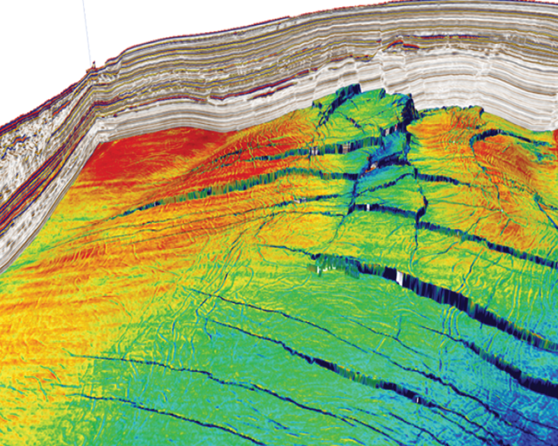
- Identify the target geology or the geological features that challenge your ability to image or characterize the subsurface
- Tailor acquisition parameters to record fit-for-purpose data
- Determine resource requirements for data processing and quantitative interpretation
- Calibrate survey costs and value of information
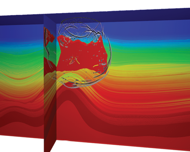
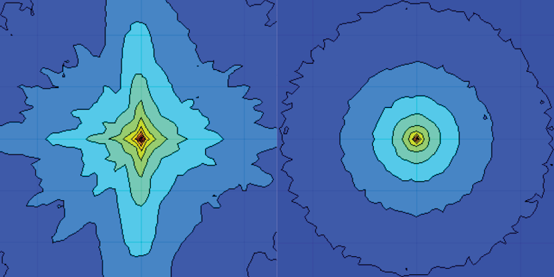
One should not overcomplicate modeling. Robust information can be derived from the intelligent use of simple models. Modeling of synthetic seismic data using representative earth models should aim to understand the significance of different acquisition geometry parameters. If real seismic data is available, comparison against the model will add confidence to the decisions made.
Nucleus+
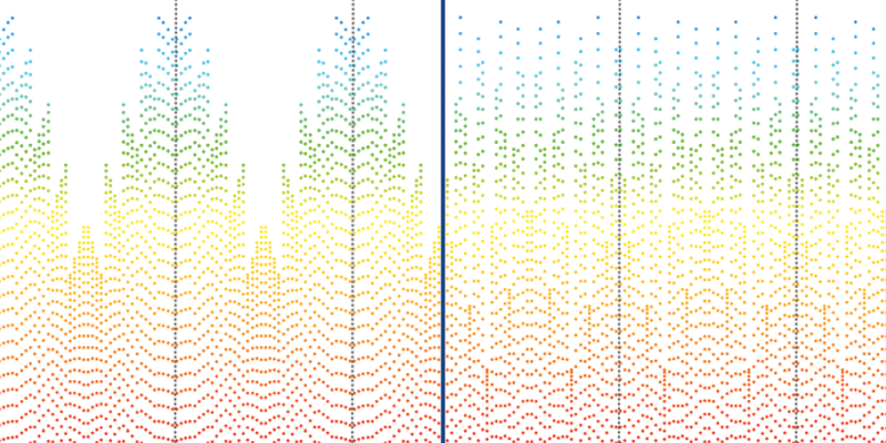
Temporal and Spatial Sampling


Contact a PGS expert
If you have a question related to our Marine Acquisition services or would like to request a quotation, please get in touch.